by Jacquelyn Overbeck | Mar 6, 2019 | Alaska Water Level Watch News
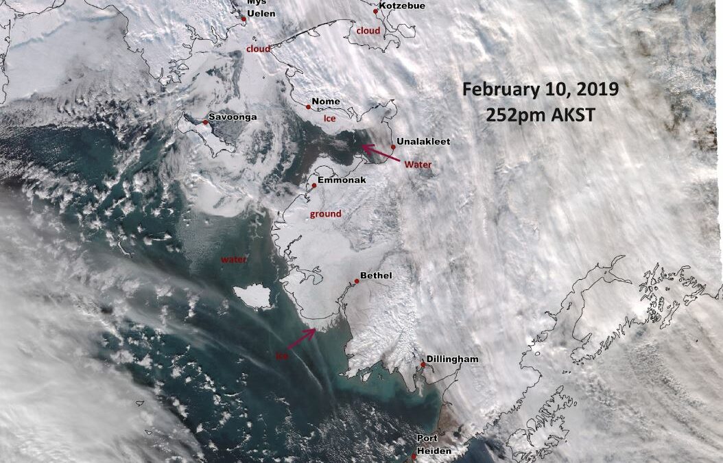
February is not a normal time of year for coastal storms to be flooding western Alaska. With another year of record low sea ice extents in the Bering Sea (NSIDC, 2019), however, the coast remains vulnerable to low-pressure systems moving across the ocean. On February...
by Jacquelyn Overbeck | Aug 3, 2018 | Alaska Water Level Watch News
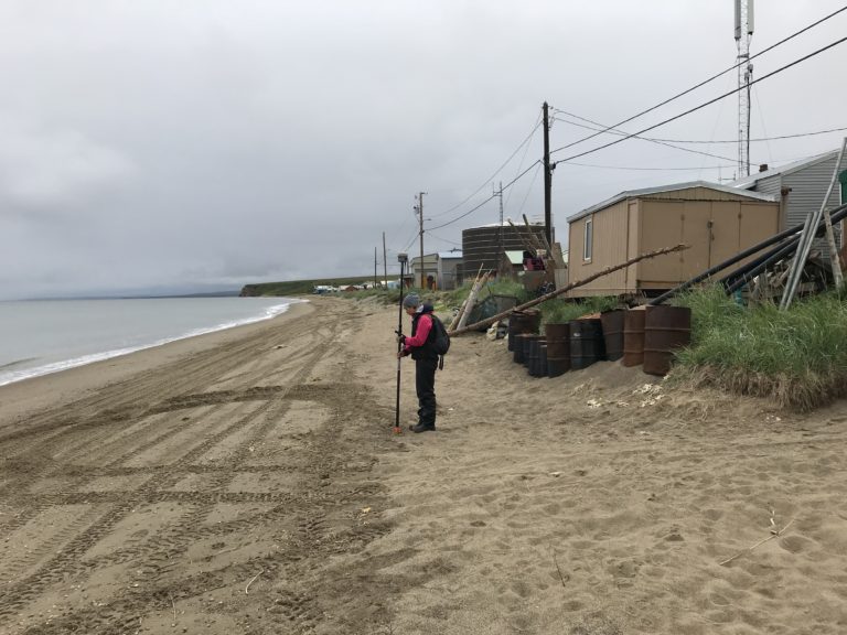
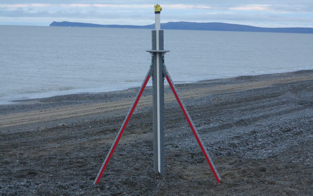
In July 2018, the Alaska Division of Geological & Geophysical Surveys Coastal Hazards Program conducted coastal surveys at Kotzebue and Deering, Alaska to inform the elevation data used to create color-indexed flood communication maps. While surveying in Kotzebue,...
by Jacquelyn Overbeck | May 15, 2018 | Alaska Water Level Watch News
Northwest Alaska is no stranger to large fall storms. From October until the sea ice arrives, the region experiences multiple coastal storms each year that heavily impact the region leading to inundation and coastal erosion. In September 2017, UAF deployed beach...
by Jacquelyn Overbeck | Nov 20, 2017 | Alaska Water Level Watch News
The 2017 fall storm season is already underway. Two storms impacted communities on the western coast in October, and extended storm activity impacted the Bering Straits and Norton Sound in early November. Storms that regularly occur during the fall season are...
by Jacquelyn Overbeck | Oct 1, 2017 | Alaska Water Level Watch News
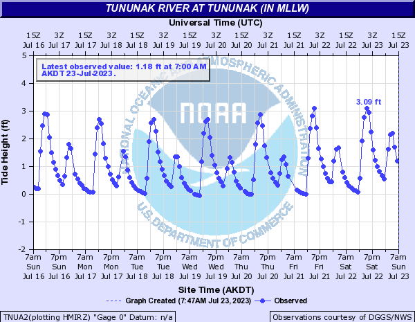
Alaska Division of Geological & Geophysical Surveys and Anchorage National Weather Service (NWS) staff travelled to Tununak to re-install a water level sensor that was damaged in winter of 2015. The iGage is a satellite-telemetered ultrasonic sensor developed at...