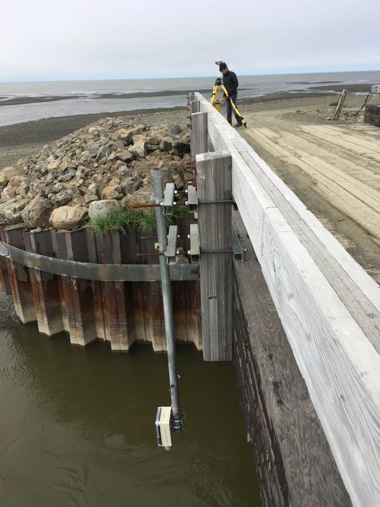
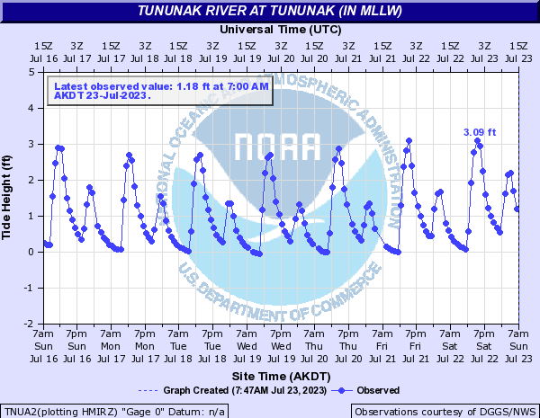
Alaska Division of Geological & Geophysical Surveys and Anchorage National Weather Service (NWS) staff travelled to Tununak to re-install a water level sensor that was damaged in winter of 2015. The iGage is a satellite-telemetered ultrasonic sensor developed at the NWS Alaska-Pacific River Forecast Center (APRFC). Data are immediately available on the APRFC website and will be added to the Real-Time Data Portal. The Tununak iGage and Bethel iGage are the only operational water level sensors collecting real-time data in the coastal zone of the Yukon-Kuskokwim Delta of Alaska; a delta that is 12.5 times the size of the Mississippi Delta.

Jason Ahsenmacher assists Jacquelyn Overbeck with installing and surveying the Tununak iGage.

Real-time water level data from Tununak iGage.
