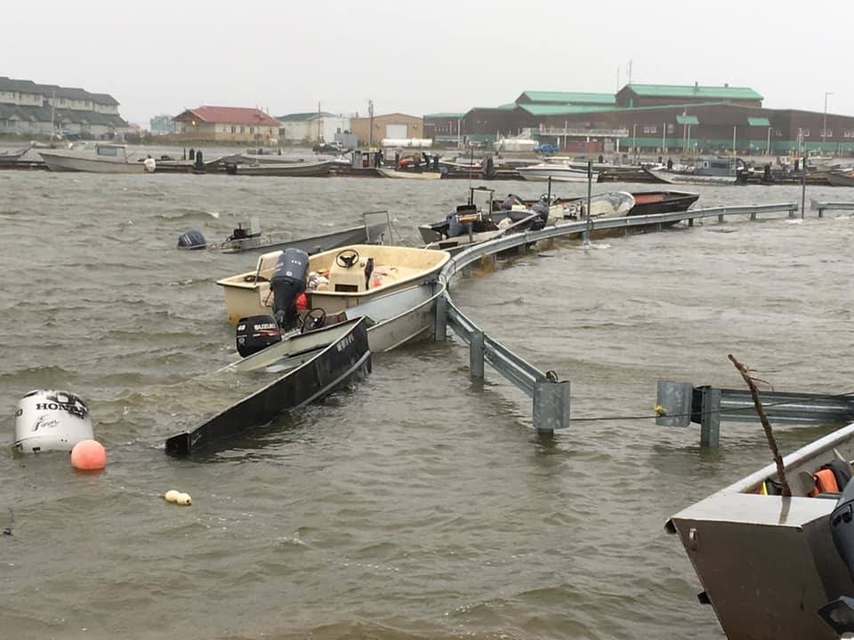
The Alaska Division of Geological & Geophysical Surveys works with Alaska Water Level Watch partners to maintain photos and resources on historical floods in western Alaska. These resources are the only insights into how high past floods reached in and around communities and what kind of impact floods have had.
Potential impacts include flooding in or around homes and other buildings, preventing access to certain parts of town such as airport runways or clinics, salinization of water supplies, and much more. These data are available in multiple formats, including the DGGS photo database, DGGS reports, and NOW the AWLW data portal. Flood heights, impact levels, and photos can be viewed in the data portal under the Flood Events dataset.
These data help to understand existing flood risk so that communities can plan for the next flood event. Data are also used to validate models of flooding that take into consideration future climate scenarios such as changes in sea ice conditions, wave climate, and other oceanographic factors.
If you have photos of past flood events in your community, email jacquelyn.overbeck@alaska.gov.

Photo of flooding at Kotzebue, August 3, 2019. Photo was provided to the NOAA National Weather Service. https://maps.dggs.alaska.gov/photodb/detail/17345
