Steering Committee
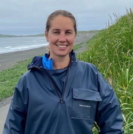
Jacquelyn Overbeck
National Oceanic & Atmospheric Administration Office for Coastal Management (committee lead)
Jacquelyn Overbeck is the Alaska Regional Geospatial Coordinator with the NOAA Office for Coastal Management. Overbeck provides technical assistance and coordination support for Alaska coastal geospatial projects and initiatives including the NOAA Digital Coast. She brings to bare years of experience working with Alaska Native communities on flood and erosion hazards and coastal mapping across the state using remote sensing, GNSS surveying, and community-based monitoring techniques. Overbeck coordinates coastal mapping and water level priorities and projects, contributes to online tools to communicate coastal vulnerability, and provides scientific guidance to federal and state agencies, non-profits, and Indigenous organizations to inform hazard mitigation, community planning, and relocation strategies for communities facing reductions in sea ice cover and concentration during fall storms and thawing permafrost of ice rich coastlines.
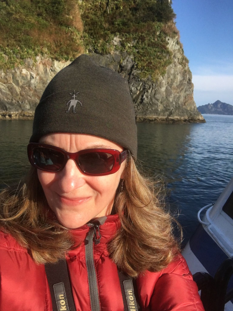
Carol Janzen
Alaska Ocean Observing System
Dr. Carol Janzen is the Director of Operations and Development for the Alaska Ocean Observing System (AOOS), and works closely with regional partners and stakeholders to facilitate the prioritization and implementation of new observing technologies and initiatives, especially those relevant to maritime domain awareness and operations, coastal hazards, and ecosystem and climate variability and change. Carol has a Ph.D. in Physical Oceanography, and has over three-and-a-half decades of experience conducting and managing interdisciplinary observational research in estuarine, coastal-shelf and offshore environments. She has worked in all sectors of the marine science community including private environmental consulting, state government, academia, and instrumentation industries. Carol started her oceanographic career in the Alaska Arctic working on the interdisciplinary Endicott Monitoring Project, a large-scale environmental assessment program in the eastern Beaufort. She brings a diverse level of experience to Alaska’s coastal and marine observing requirements, having worked in numerous coastal regions across the U.S as well as internationally. Carol joined AOOS in 2015 and has been a member of the AWLW since its inception, and was instrumental in helping AOOS test and implement GNSS-R water level observing techniques in Alaska.
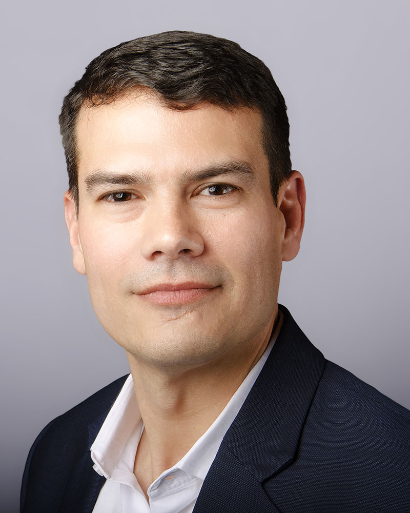
Nathan Wardwell
Management Association of Private Photogrammetric Surveyors and Managing Partner, JOA Surveys, LLC
Nathan Wardwell is Managing Partner of JOA Surveys LLC, a small but growing business located in Anchorage, Alaska that specializes in measuring water levels for tidal datum determinations. Nathan has is B.S. degree in Environmental Science from Alaska Pacific University and an M.S. degree from the University of New Hampshire’s Center for Coastal and Ocean Mapping (UNH-CCOM). Nathan served as chair of the University of Alaska Anchorage Geomatics Advisory Board from 2016 to 2018 and has been a member of the Alaska Water Level Water Steering Committee since 2019. He was a member of The Hydrographic Society of America’s Education Committee and an expert contributor to the International Hydrographic Office’s Hydrographic Surveys Working Group. In 2013 he became the Director of an Environmental Field Services contract with NOAA’s Center for Operational Oceanographic Products and Services and has managed an effort to collect tidal and GNSS observations at more than 200 locations along the coasts of the U.S. and its territories for the National Ocean Service’s VDatum Program. In 2022 Nathan received tentative approval for appointment to the NOAA’s Hydrographic Services Review Panel Federal Advisory Committee.
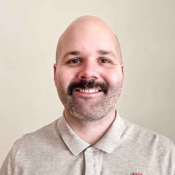
Timothy Steffen
National Oceanic & Atmospheric Administration
National Weather Service
Tim Steffen is the Marine Program Manager at National Weather Service (NWS) Alaska Region Headquarters in Anchorage. As Marine Program Manager, Tim collaborates with National Weather Service Headquarters, NWS Regions, and the Arctic Testbed and Proving Ground to provide support for NWS marine operations. Tim gathers operational science and technology requirements and works with NWS personnel, and other academic partners. Additionally, Tim collaborates with and provides Impact-Based Decision Support Services (IDSS) to a variety of deep core partners and stakeholders. Tim began his NWS career as a weather forecaster at the Juneau, Alaska Forecast Office from 2011 to 2017. In 2017, Tim was promoted to the Lead Forecaster position at the Flagstaff, Arizona Forecast Office. After spending four and half years in Arizona, Tim returned to Alaska to take on his current position in September 2021. Tim joined the AWLW Steering Committee in 2022, representing the interests of the NWS Alaska Region.
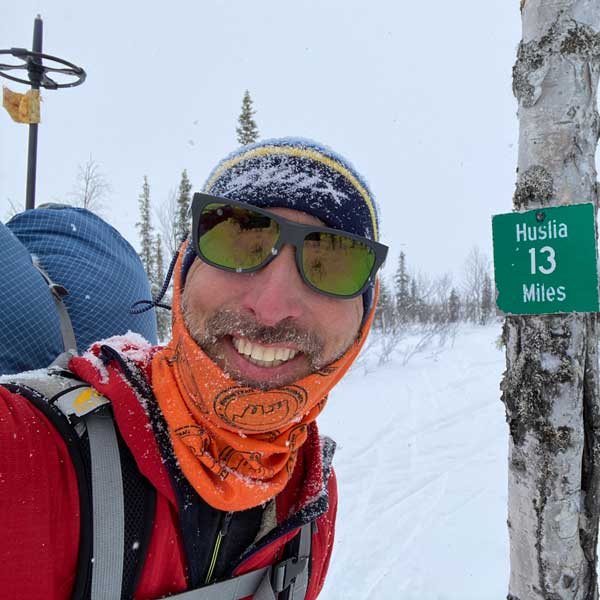
Ed Plumb
Coastal Flood Program Manager, National Oceanic & Atmospheric Administration, National Weather Service
Ed Plumb is the Coastal Flood Program Manager at the National Weather Service (NWS) Alaska Region Headquarters. Ed works closely with the Alaska Weather Forecast Offices to ensure the NWS has a consistent approach to forecasting and communicating coastal flooding hazards across Alaska. Ed collaborates with federal and state agencies, Indigenous organizations, and other stakeholders to help improve NWS coastal flood forecasts, Impact-Based Decision Support Services (IDSS) to core partners, and hazardous weather messaging to Alaska coastal communities. Ed began his career with the NWS in 1996 at the Fairbanks Forecast Office and has been predicting and monitoring storms that impact the Bering, Chukchi, and Beaufort Sea coasts for over 25 years. Ed has also worked extensively throughout Interior Alaska as a hydrologist overseeing the NWS river flood program. This includes maintaining a network of community river observers and monitoring the Yukon River during spring breakup by small aircraft as part of the River Watch program. Prior to his time at the NWS, Ed worked for the US Geological Survey Water Resources Division and collected hydrologic data throughout northern Alaska.
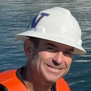
Steve Bassett
Lead Physical Scientist, National Oceanic & Atmospheric Administration, Center for Operational Oceanographic Products & Services
Steve has been with CO-OPS for 20 years. He is with the Field Operations Division in Seattle, which focuses on maintaining the water level sensors throughout the Pacific region, including at Alaska NWLON stations. Before becoming the Team Lead for Field Operations, he was the Field Lead for National Currents Observation Program (NCOP) and spent many years updating the currents predictions throughout SE and central Alaska.
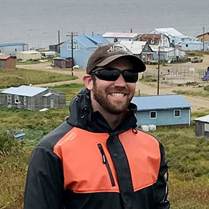
Richard Buzard, PhD
Mendenhall Postdoc, U.S. Geological Survey Pacific Coastal and Marine Science Center
Richard is a Mendenhall Postdoc working on storm surge flood modeling in Alaska. He graduated from the University of Alaska Fairbanks, where he studied coastal hazards and developed many flood and erosion assessments to support community resilience. Richard creates actionable hazard products using a combination of remote sensing, ground and aerial surveys, community engagement, and community-based monitoring.
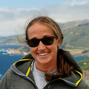
Nora Nieminski, PhD
Program Manager, State of Alaska Coastal Hazards Program
Dr. Nora Nieminski manages the State of Alaska Division of Geological & Geophysical Surveys (DGGS) Coastal Hazards Program, which aims to enhance decision making support for coastal geohazard response and resource management by providing Alaskans with sound scientific investigations of coastal processes and change. The Program currently focuses on baseline data collection, statewide flooding & erosion assessments, community-based monitoring, event response, improving data accessibility, and developing exciting future directions of research. Nora has a Ph.D. in Geological & Environmental Sciences from Stanford University, and has expertise in sedimentary geology, stratigraphy, source-to-sink sediment transport, coastal and marine depositional systems, and linking the stratigraphic record to geologic hazards. Before coming to Anchorage, Nora worked with the Monterey Bay Aquarium Research Institute (MBARI) and then as a Research Geologist at the U.S. Geological Survey Pacific Coastal & Marine Science Center in Santa Cruz, California. Nora joined the AWLW Steering Committee in 2023.
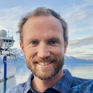
Steven L. Dykstra, PhD
Assistant Professor, University of Alaska Fairbanks, College of Fisheries and Ocean Science
Dr. Steven (Steve) Dykstra is an Assistant Professor in the College of Fisheries and Ocean Science at the University of Alaska Fairbanks (UAF) where he researches and teaches the physical processes of ocean-land-atmosphere interactions, focusing on river-marine transitions and the role of human impacts. By differentiating effects of climate change, natural variability, and the built environment, his research advances our understanding of flood risks, global warming impacts, and predicting environmental change. Steve is a physical oceanographer and part of the UAF Coastal Marine Institute and the Alaska Coastal Mapping Center of Excellence. He has previously worked as a hydrologist, surveyor, and engineer for non-profits (NGOs) and private companies in over a dozen countries and most U.S. states, supporting local business and indigenous communities. In 2005, Steve began working in coastal Alaska as a naturalist in Kenai Fjords National Park and became a UAF faculty member in 2023.
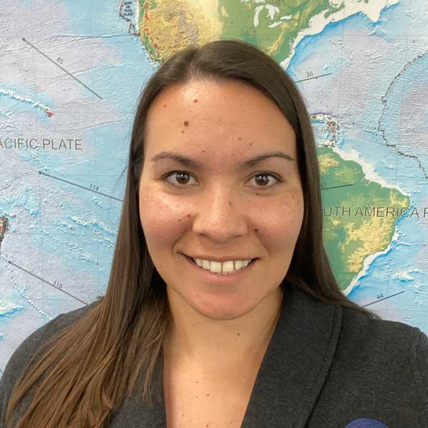
Summer Ohlendorf, PhD
Science and Operations Officer at NOAA’s National Tsunami Warning Center
Dr. Summer Ohlendorf is the Science and Operations Officer at NOAA’s National Tsunami Warning Center (NTWC) in Palmer, AK. As such, she oversees the center’s data ingest and analysis, staff training, and science infusion. This involves coordination and collaboration with partners from across government, emergency management, academia, and industry. Summer holds a B.A. in geophysics from University of California Berkeley and M.S. and Ph.D. in geophysics from University of Wisconsin-Madison. She came to NTWC as a Duty Scientist in 2015, and was promoted to Science Officer in 2020. Summer also currently serves as a co-chair of the National Tsunami Hazard Mitigation Program’s Mapping and Modeling Subcommittee, a federal-state partnership that develops, standardizes, and improves tools that communicate tsunami hazard and risk to improve community planning and resilience.
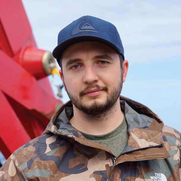
Reyce Bogardus
PhD Student, Geophysical Institute, University of Alaska Fairbanks
Reyce Bogardus is a PhD student and coastal geomorphologist at the Geophysical Institute’s Arctic Coastal Geoscience Laboratory. He graduated with his B.S. and M.S. from the University of Alaska Fairbanks where he studied storm-driven environmental change and flooding in Alaska. Reyce’s research centers on constructing paleo proxy records of storminess and relative sea level fluctuations from semi-enclosed coastal basins along the Aleutian Chain to analyze how broader climatic factors impact storm activity in the Bering Sea over millennial time scales.
Lynda Bell
Alaska Regional Geodetic Advisor, National Oceanic & Atmospheric Administration National Geodetic Survey
I am currently a permanent civil servant for the Department of Commerce, serving as the Alaska Regional Geodetic Advisor for NOAA’s National Geodetic Survey (NGS). I am serving as a liaison between NGS and its public, academic, and private sector customers within my region, providing guidance and assistance on geospatial activities that are tied to the National Spatial Reference System. My current duty station is located within the NOAA NWS suite in the James Fitzgerald Federal Building in Anchorage, AK.
I have also had the great privilege to serve several other federal agencies in the geospatial community, working as a Geophysicist and Senior Scientist at NASA’s Goddard Space Flight Center in Greenbelt, MD and as a Sea Level Specialist at the National Park Service Headquarters in Fort Collins, CO.
