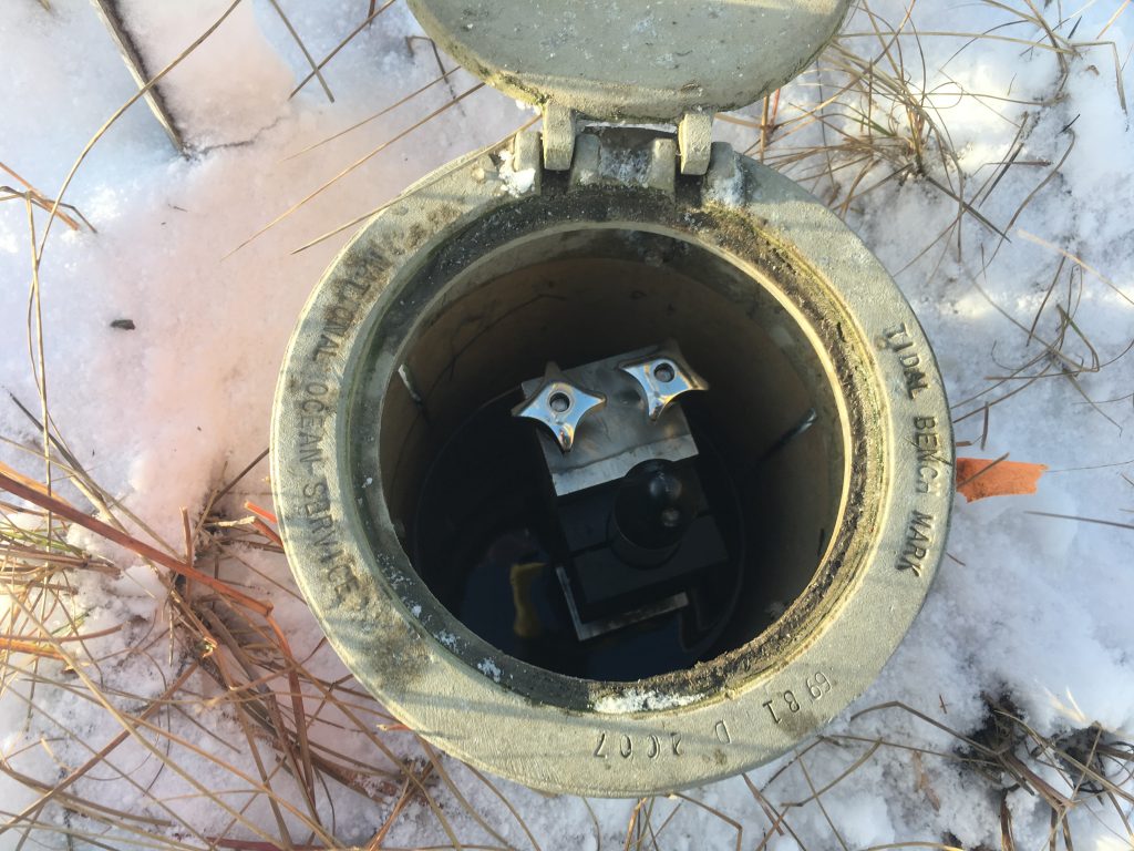
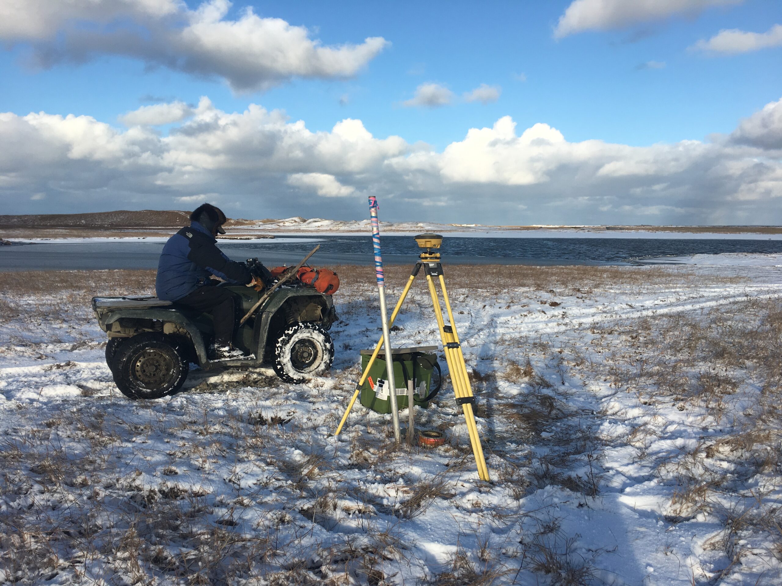
The 2017 fall storm season is already underway. Two storms impacted communities on the western coast in October, and extended storm activity impacted the Bering Straits and Norton Sound in early November. Storms that regularly occur during the fall season are coinciding with sea ice free conditions, allowing waves and surge to reach Alaska’s shorelines. Water level data allow scientists and engineers to document these storms, their impact levels and determine return frequency and intensity of storm induced flooding. JOA Surveys, LLC (JOA) deployed sensors in 2016 (pilot project) and 2017 (contracted with funding from AOOS) to measure water levels at Kinak Bay, Hooper Bay and Nunam Iqua, Alaska. JOA has designed a custom bracket to mount a HOBO U20 non-vented pressure sensor to pre-existing deep rod style tidal benchmarks located in low-elevation parts of rural communities. JOA staff installed the 2017 sensors at Hooper Bay, but when weather kept them from reaching Nunam Iqua, they were able to send the sensor to local school staff for installation. The sensors will be collected by local individuals after the storm season and sent to JOA. Resulting data will be posted on the AOOS oceanographic data portal.

HOBO in custom JOA clamp mounted to a tidal benchmark. (Photo by JOA Surveys, LLC)

